Static maps

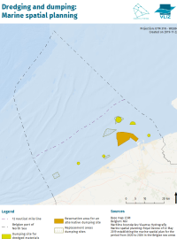
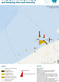
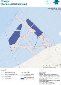
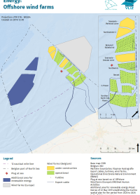
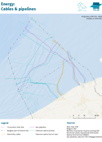
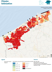
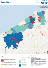
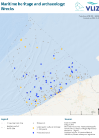
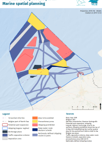
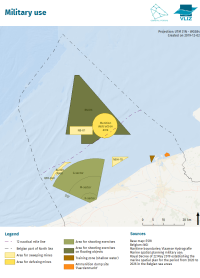
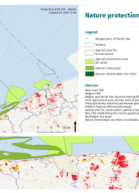
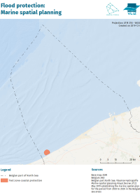
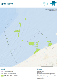
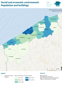
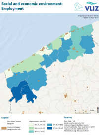
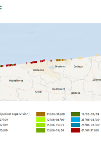
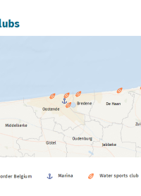
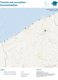
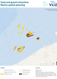
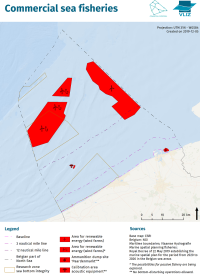
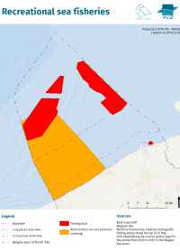
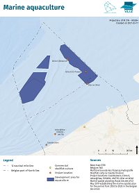
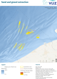
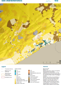
Here you can find all the static map products that were produced by and for the Coastal Portal. They are listed below with an indication of the corresponding theme and sub-theme. To find more information about the data on the map products, the user can always click through to the corresponding theme page, or visualize the data in the associated Geoviewer. The theme page can also be consulted for further information about the (meta-)metadata. 

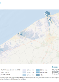
The maps were always produced in the same way, according to a fixed layout. This layout, as well as the data that is visualized, cannot be changed. In order to interactively visualize data, the dynamic maps must be used. All maps are georeferenced according to the UTM31N - WGS84 projection. The maps are downloadable in PDF format, and can be opened in the browser by clicking on them.

Dredging and Dumping
Marine Spatial Planning

Dredging and Dumping
Dredging and dumping sites and intensity

Energy
Marine Spatial Planning

Energy
Offshore wind farms

Energy
Cables and Pipelines

Climate
Salinization

Agriculture
Agricultural areas

Maritime Transport and Ports
Marine Spatial Planning

Military Use
Marine Spatial Planning

Flood Protection
Marine Spatial Planning


Open Space

Social and Economic Environment
Population and buildings

Tourism and Recreation
Bathing areas

Tourism and Recreation
Accommodation

Zand- en Grindwinning
Marine Spatial Planning

Flood Protection
Flood risks

Fisheries and Aquaculture
Commercial sea fisheries

Fisheries and Aquaculture
Recreational sea fisheries

Fisheries and Aquaculture
Marine aquaculture

Zand- en Grindwinning
Marine Spatial Planning

Sand and Gravel Extraction

Sand and Gravel Extraction
Soil characteristics